Nebraska Map

go-nebraska.com

Our new sites are now in beta, tell us what you think

Ogallala, Nebraska - Transportation

Maps, Directions, Airports, Rental Cars, Shuttles,...

Transportation information for Ogallala is provided below. Travel information includes driving directions, maps, airport information and more.

Results


Denver International Airport is one of the largest airports in the world. The airport's main terminal features a light and airy central atrium with a canopy ceiling of fiberglass fabric that resembles the peaks and valleys of the nearby mountains. Most major airline charters serve DIA, providing nonstop daily service to more than 130 national and international destinations. Located 178 miles southwest of Ogallala.

  • Transportation Services

Enterprise Rent-A-Car Save 50% on Weekends. Great Cars and Free Pick-Up. BOOK NOW! Enterprise Rent-A-Car offers great rates and great service. Choose from over 6,500 locations near your home, work or destination. Enterprise even offers vans and SUVs for that special trip.

Basic Directions

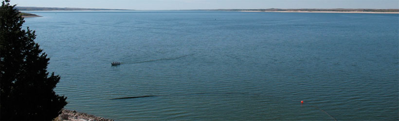
Ogallala, "Nebraska Recreation Capital", is an oasis of pleasure in southwest Nebraska, located at the intersection of I-80 and SR-26.

Customizable Directions
From:    To: 
Language: 

Formatted DirectionsMap
AmericasBestValueInn-Skyscraper-2-NE

Email Page Link

Complete the form below to email this page to a friend or family member's email. You can send yourself an email as well. Your email and your recipient's email will NOT be shared with anyone. See our full Privacy Policy for details.
Your name:
Your email address:
Friend's email(s):


Send yourself a copy: Yes No
Subject:
Body: